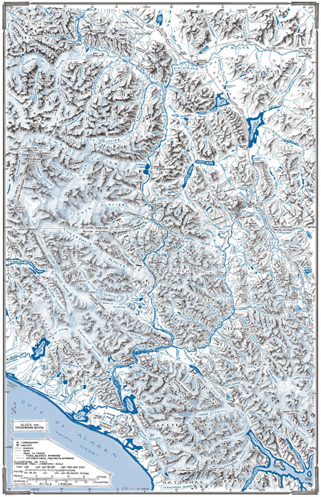
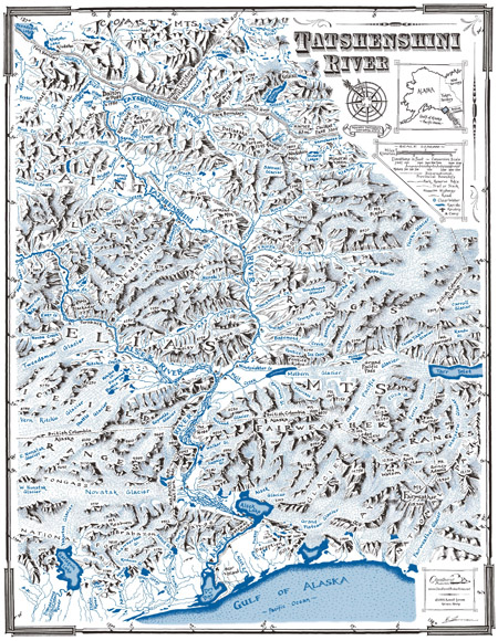
Although not a topographic map, it was drawn DIRECTLY from 5, 1:250,000 scale topo maps, then reduced to a manageable 18″ x 28″ at 1:400,000 scale. The backside has just the Tatshenshini River shown at 1:250,000 scale. Newly updated showing historical glacier borders from 1990. Tatshenshini side includes updated main camps and fresh water sources. It’s a great way to see the ‘big picture’ of the Alsek/Tatshenshini River system, and follow your progress as you head downstream. Printed on recycled paper.
$10
Available for purchase through The Bookstore in Haines at their website: www.hainesbookstore.com.
Flip-side shows Tatshenshini River
A must for those
running the river!
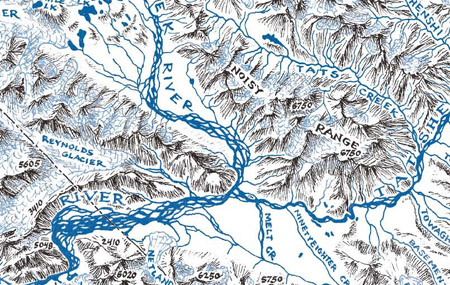
Provides names of many major tributaries not named on the 1:250,000 scale topographic maps, as well as showing the overall picture on one sheet. Main camps and clear water sources are indicated on the Tatshenshini map.